
The New York Yankees and Washington Nationals open a two-game series on Tuesday, May 15, 2018 (5/15/18) at Nationals Park in Washington, D.C. But with a 75% chance of strong thunderstorms this evening, it could be a while before the Yankees get a good look at Nationals slugger Bryce Harper.
The Yankees take the best record in the majors (28-12) to Washington, DC on Tuesday for a quick two-game series with Bryce Harper and the Nationals.
However there might not be anything quick about game 1, with thunderstorms, heavy rain and gusty wind in the forecast.
A flash flood watch for the District of Columbia has already been issued by the National Weather Service:
FLASH FLOOD WATCH IN EFFECT FROM 3 PM EDT THIS AFTERNOON THROUGH LATE TONIGHT …
* The National Weather Service in Sterling Virginia has expanded the Flash Flood Watch to include portions of central Maryland, The District of Columbia, and northern Virginia, including the following areas, in central Maryland, Prince Georges. The District of Columbia. In northern Virginia, Arlington/Falls Church/Alexandria and Fairfax.
* From 3 PM EDT this afternoon through late tonight: A front will sag across the region this afternoon into this evening. A couple rounds of thunderstorms are expected to accompany the front and should move across the Mason-Dixon region late afternoon. These thunderstorms should push farther south and east into eastern West Virginia, northern Virginia and portions of northern Maryland during the evening. Heavy rainfall and lightning will be the main threats with the potential of encountering damaging winds and hail in the strongest thunderstorms. Rainfall amounts could average 1 to 3 inches later this afternoon and this evening. Flash flooding is possible, especially in slow-moving thunderstorms.
* Flash flooding risk is for small streams particularly in urban areas like Baltimore and Hagerstown.
Weather.com has a 35% chance of thunderstorms at 6 p.m. It goes up to 50% at 7 p.m., 60% at 8 p.m., 60% at 9 p.m., 70% at 10 p.m., and 75% at 11 p.m.
The weather is associated with a cold front pushing toward the east coast. It’s the same weather system which could trigger severe weather in New Jersey for the evening commute.
Mike Rosenstein may be reached at [email protected]. Follow him on Twitter @rosenstein73. Find NJ.com on Facebook.
-
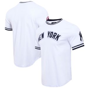
Men’s New York Yankees Pro Standard White Classic Chenille Double Knit T-Shirt
$92.99 Buy Now -
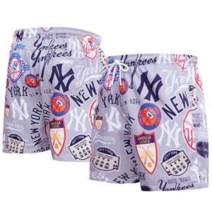
Men’s New York Yankees Pro Standard Gray Toss Logo Woven Shorts
$74.99 Buy Now -

NYYNEWS Dawgs Snapback
$19.99 Add to cart -
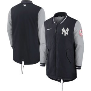
Men’s Nike Navy New York Yankees Dugout Performance Full-Zip Jacket
$220.00 Buy Now -

NYYNEWS Ruben Snapback
$14.50 Add to cart -

NYYNEWS Don Yankee Con El Bori Snapback
$14.50 Add to cart -

NYYNEWS Cap White
$21.00 Add to cart -

NYYNEWS Cap Red
$21.00 Add to cart -

NYYNEWS The Ryan Beck Show TTFN Tee
$17.00 – $26.00 Select options -
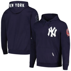
Men’s Pro Standard Navy New York Yankees Team Logo Pullover Hoodie
$100.00 Buy Now
